Arkhangai (Ögiinuur sum)· Өгий нуур
Ögii Lake
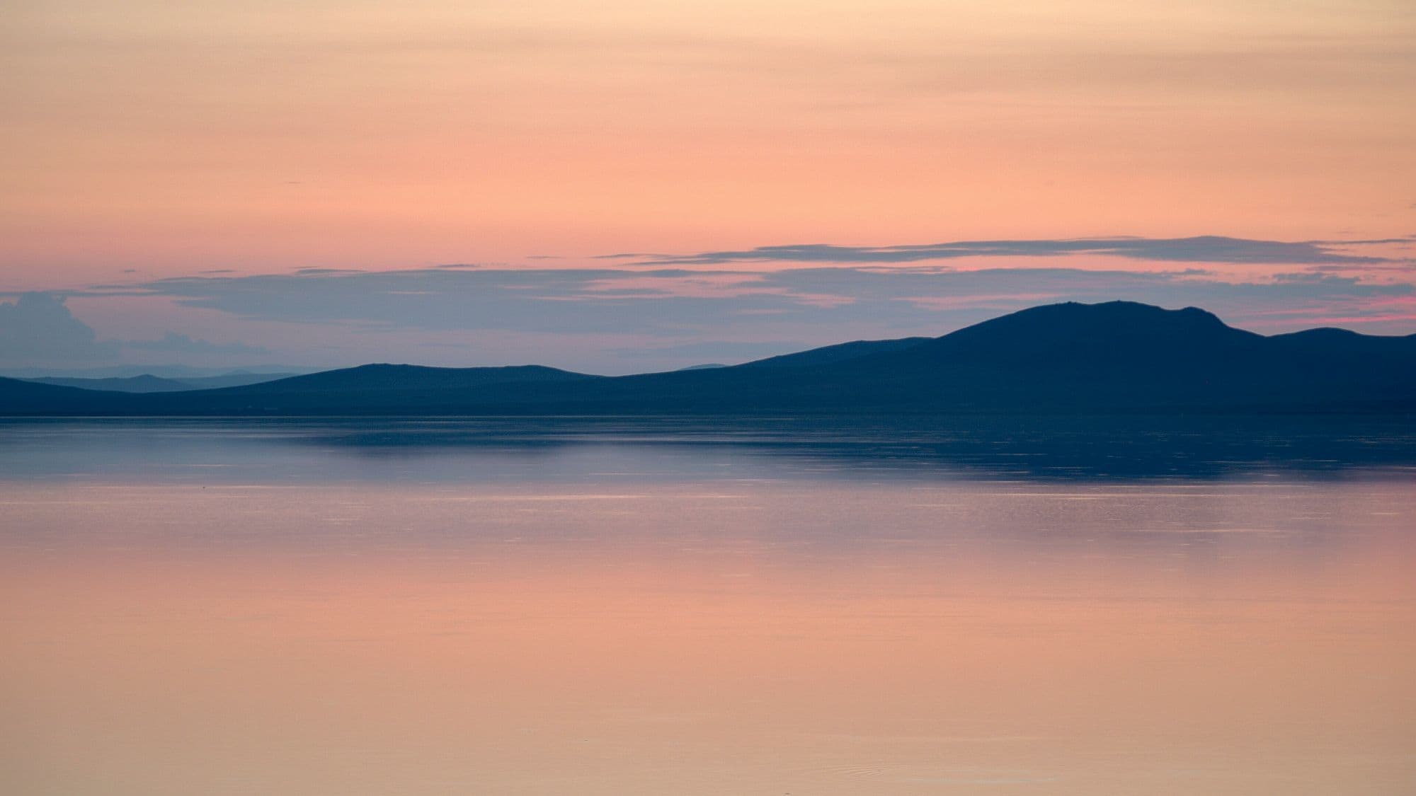
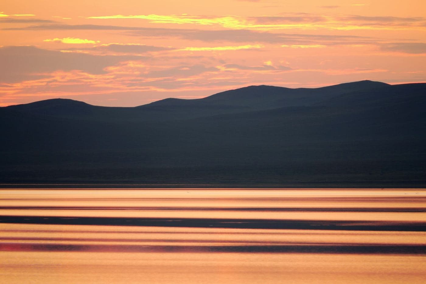
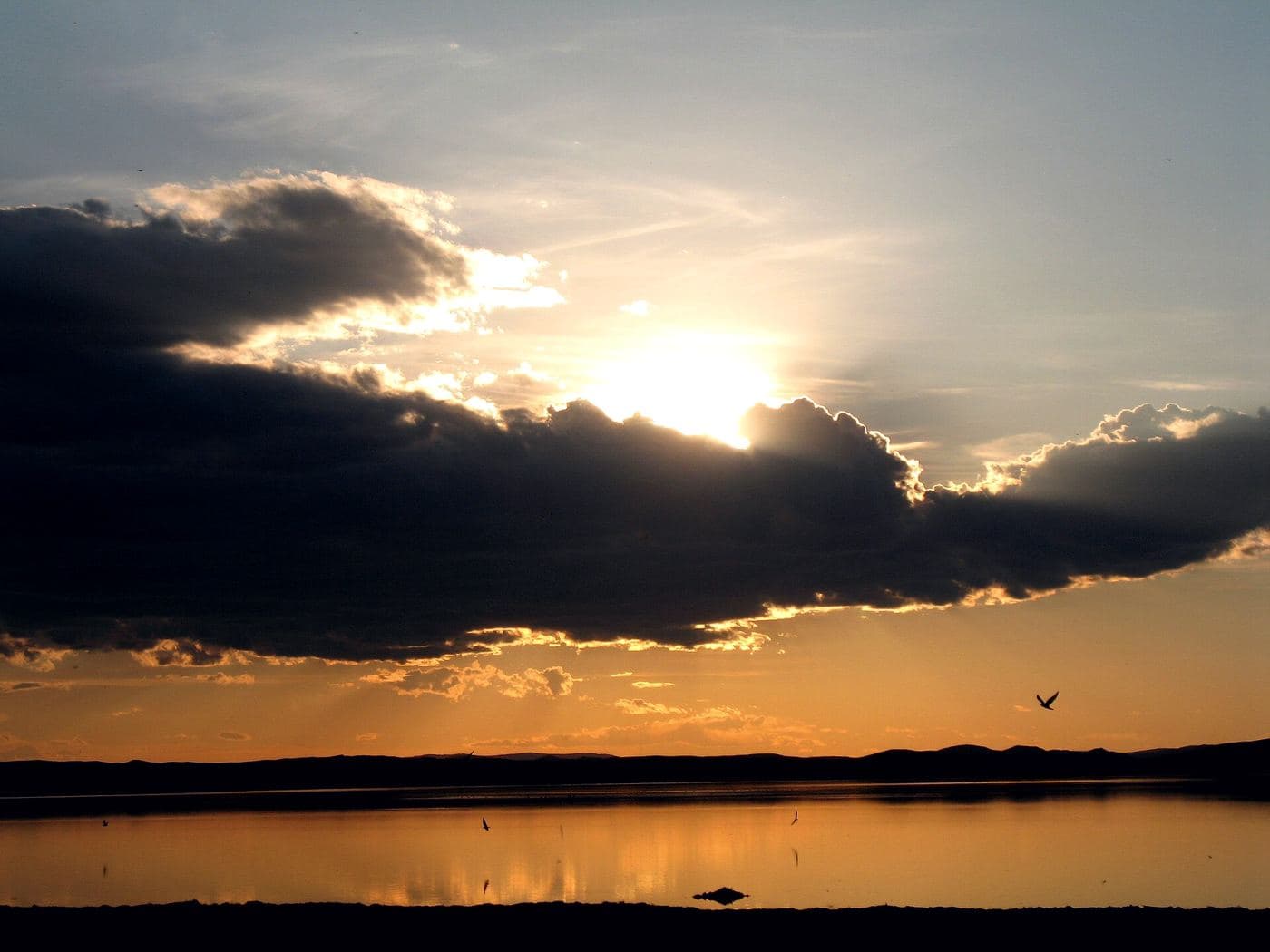
Ögii is a shallow steppe lake of about 25.7 km² at 1,337 metres, fed from the west by the Khögshin Orkhon and drained north-west by the Khooloi into the Orkhon proper. It has been a Ramsar wetland of international importance since 1998 and a BirdLife International Important Bird Area, with around 150 bird species recorded and a well-used migration stopover for ducks, geese and swans. Mongolians come for the fishing. For travellers it is the easiest lake to bolt onto a Kharkhorin trip - a warm swim, a quiet night and birds on the water at first light, for about half a day's detour.
- From Ulaanbaatar
- 340 km
- Drive time
- 5-6
- Altitude
- 1,337 m
- Typical stay
- 1
- Best months
- Jun–Sep
- Jan: not a best month
- Feb: not a best month
- Mar: not a best month
- Apr: not a best month
- May: not a best month
- Jun: a best month
- Jul: a best month
- Aug: a best month
- Sep: a best month
- Oct: not a best month
- Nov: not a best month
- Dec: not a best month
Highlights
- Spring and autumn waterbird passage, especially ducks, geese and swans
- Around 150 recorded bird species, including rare ones, in and around the lake
- Fishing - 14 fish species are recorded, among them pike and perch
- Swimming off the gentle shore in July and August, when Ögii is far warmer than the Khangai lakes
- Sunrise over the water from a lakeside ger camp
- Kayaking and small-boat trips on a lake shallow enough to be forgiving
- Easy steppe walks on the low hills behind the shore
- Kharkhorin and Erdene Zuu, about 80 km south, as the natural next stop
Season notes
Bird migration peaks in May and September, which are the best months for the lake's main claim to fame but too cold for swimming. July and August are warm enough to get in the water. The lake freezes in winter. Mosquitoes and biting flies can be unpleasant on still July evenings, particularly near the reedy margins.
From Ulaanbaatar
Paved on the western highway, then roughly 20-25 km of dirt road off the Kharkhorin road to the shore. The dirt section is easy in dry weather and slick after rain. The lake sits about 100 km from Tsetserleg.
By air
None.
Where to stay
- A small number of ger camps sit on the eastern and southern shores; no 2026 rate verified from a primary source (unverified)
- Camping on the shore is common and there are no formal restrictions travellers are routinely charged for
- Many itineraries treat Ögii as a lunch and swim stop rather than an overnight
Be aware
Sources (3)
- Өгий нуур - Монгол Википедиа — area, dimensions, average and maximum depth, 1,337 m elevation, Ögiinuur sum, inflow and outflow rivers, species counts, Ramsar designation date and reference number, distances to Ulaanbaatar and Tsetserleg
- Ögii Lake - Wikipedia — Ramsar status, Important Bird Area designation, use as a stopover by migrating Anatidae, reputation for fish and birdlife
- OSRM routing on OpenStreetMap road data — road distance and driving time from Ulaanbaatar
Often combined with
Kharkhorin and Erdene Zuu Monastery
Övörkhangai · 360 km
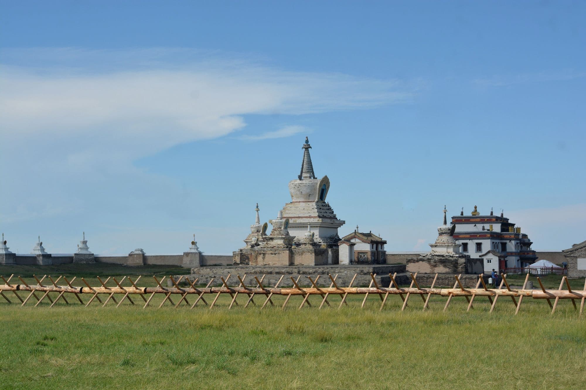
Kharkhorin sits at the lower end of the upper Orkhon valley, where the easternmost Khangai foothills meet open steppe. Just north of the modern town lie the ruins of Karakorum, briefly the imperial capital of the Mongol Empire under Ögedei Khan and the city William of Rubruck described in 1254. Built partly out of its stones in 1585, Erdene Zuu is probably the oldest surviving Buddhist monastery in Mongolia, a walled compound edged with stupas holding a handful of Chinese- and Tibetan-style temples and one working temple that still serves the town. Both sit inside the Orkhon Valley Cultural Landscape World Heritage Site.
- Best months
- Jun–Sep
Elsen Tasarkhai (Mongol Els)
Bulgan · 280 km
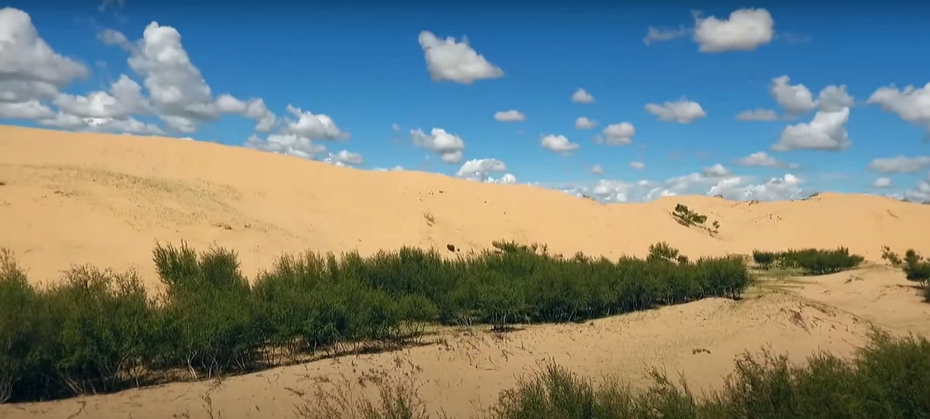
Elsen Tasarkhai is a long ribbon of sand - about 96 km of it - laid across the grassland on the main road west, curving around the western flank of Khugnu Khan mountain. Tour itineraries sell it as a taste of the Gobi without the two-day drive, and the comparison is fair in one way and misleading in another: the dunes are real and you can ride a camel over them at sunset, but the Tarna river runs along their edge and there are willows, saxaul and liquorice growing in the sand. It is the standard overnight between Ulaanbaatar and Kharkhorin.
- Best months
- May–Sep
Hustai National Park (Khustain Nuruu)
Töv · 95 km
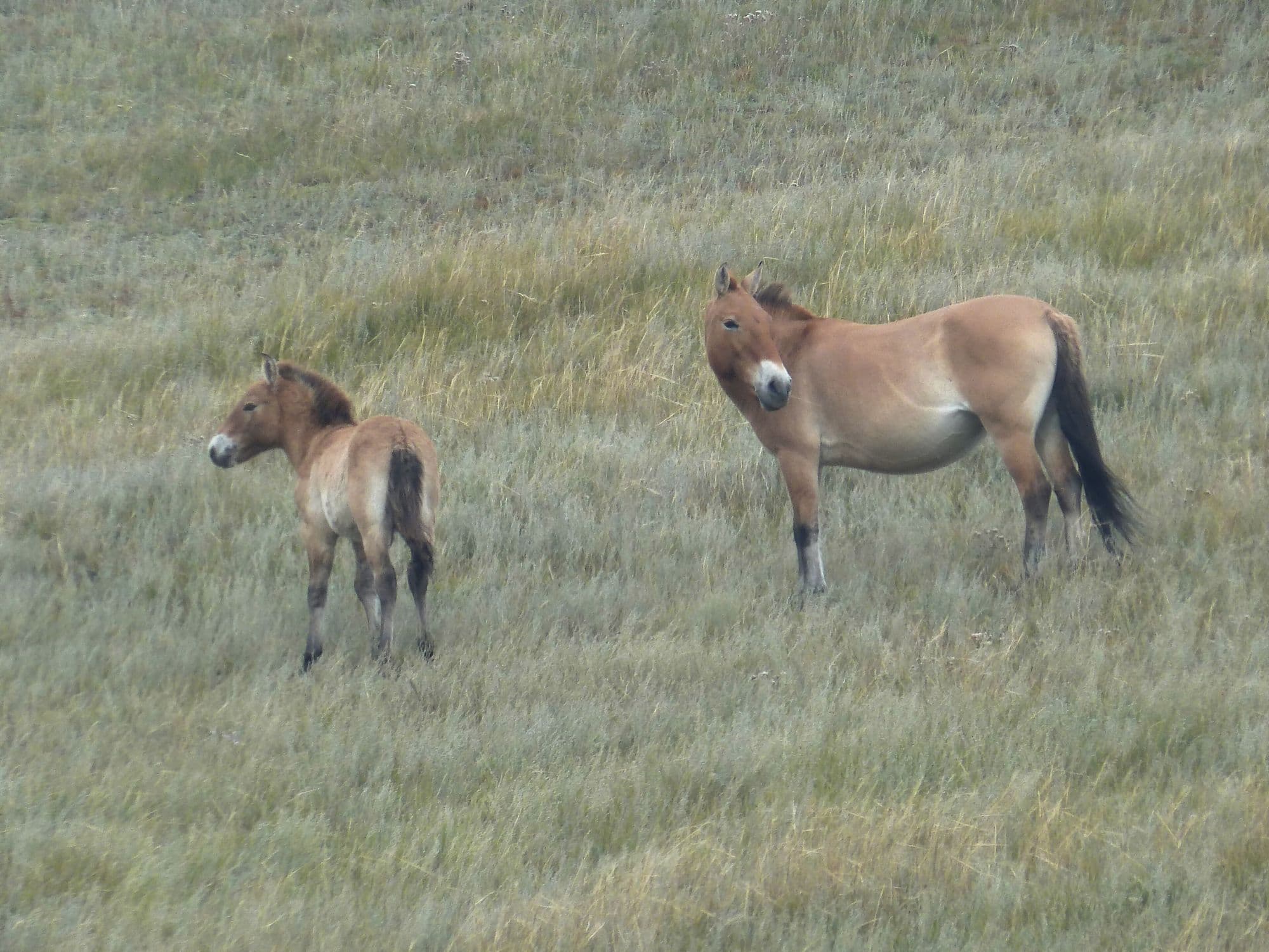
Hustai protects 506 km² of rolling hill steppe and birch pockets in the Khustai range, with the Tuul river running through it. It exists because of one animal: the takhi, or Przewalski's horse, the last truly wild horse, extinct in the wild by the late 1960s and released back here from zoo stock starting in 1992. The reintroduction worked. The area became a nature reserve in 1993 and a national park in 1998, and the population now stands at about 380 horses in 34 breeding harems plus more than 80 young stallions. It is the one place close to Ulaanbaatar where a two-hour drive buys you a realistic chance of wild horses at dusk.
- Best months
- Jun–Sep