Bulgan (Rashaant sum) on the boundary with Övörkhangai (Bürd sum)· Элсэн тасархай
Elsen Tasarkhai (Mongol Els)
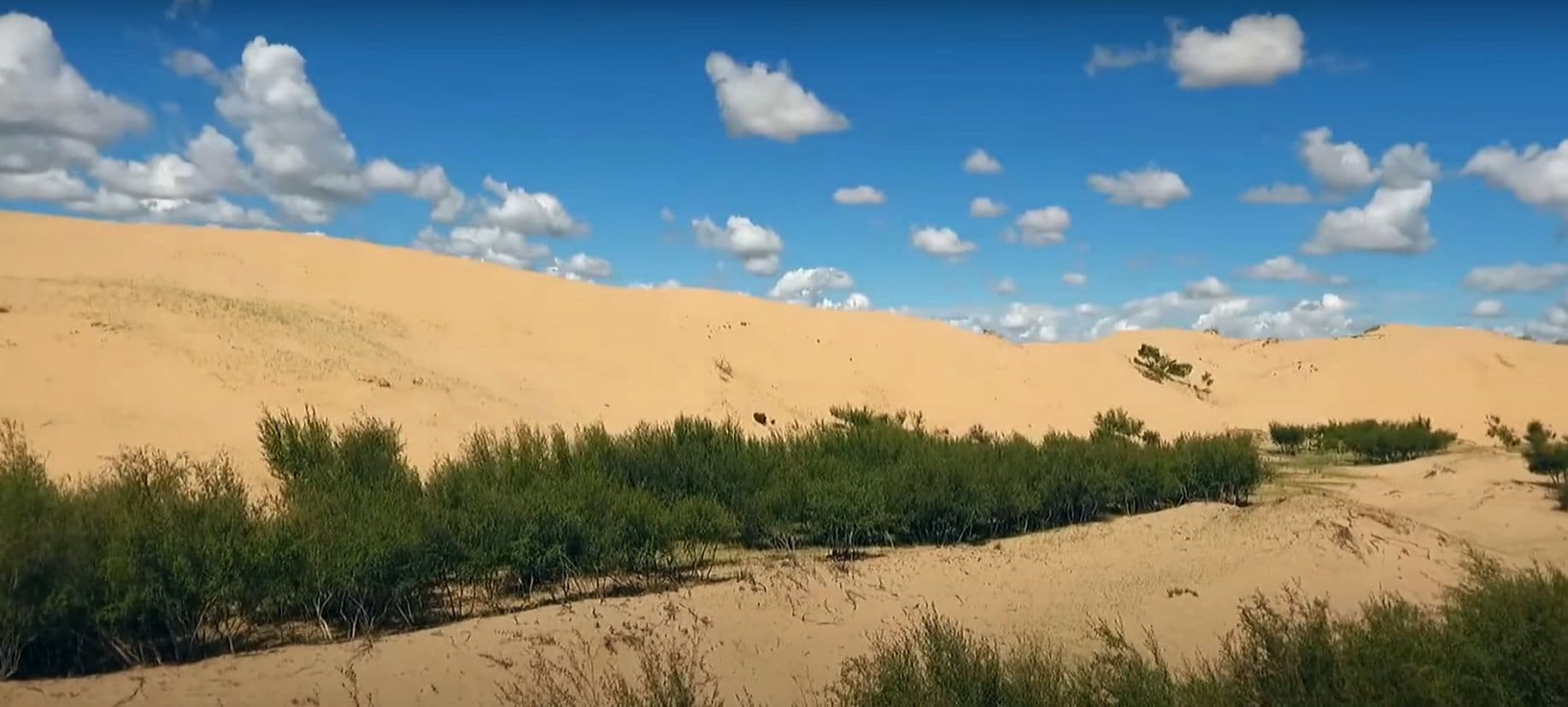
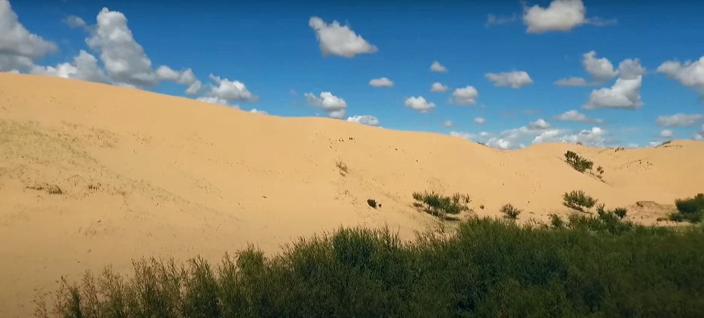
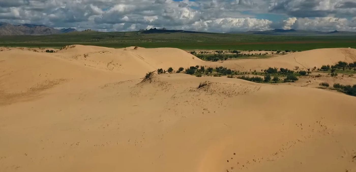
Elsen Tasarkhai is a long ribbon of sand - about 96 km of it - laid across the grassland on the main road west, curving around the western flank of Khugnu Khan mountain. Tour itineraries sell it as a taste of the Gobi without the two-day drive, and the comparison is fair in one way and misleading in another: the dunes are real and you can ride a camel over them at sunset, but the Tarna river runs along their edge and there are willows, saxaul and liquorice growing in the sand. It is the standard overnight between Ulaanbaatar and Kharkhorin.
- From Ulaanbaatar
- 280 km
- Drive time
- 4-5
- Altitude
- 1,257 m
- Typical stay
- 1
- Best months
- May–Sep
- Jan: not a best month
- Feb: not a best month
- Mar: not a best month
- Apr: not a best month
- May: a best month
- Jun: a best month
- Jul: a best month
- Aug: a best month
- Sep: a best month
- Oct: not a best month
- Nov: not a best month
- Dec: not a best month
Highlights
- Climbing the dune crest for sunset over the steppe
- Camel riding on the sand, arranged at the camps
- The monastery on Khugnu Khan mountain just north of the dunes
- The Tarna river and the band of willow and saxaul where sand meets water
- Horse riding out onto the grassland on the other side
- The odd juxtaposition of grass, water and desert within a few hundred metres - the reason photographers stop here
- Stargazing from a dune top, with no town light for tens of kilometres
Season notes
Spring winds drive sand hard across the road and make the dunes unpleasant. In July and August the sand is hot and the glare strong at midday, so the dunes are a dawn and dusk proposition. Camps close for winter. The paved road means the stop stays feasible even in poor weather, unlike most countryside sights.
From Ulaanbaatar
Paved the whole way on the western highway toward Kharkhorin. The dunes sit directly beside the road; camps are reached by short sand tracks off it, and those tracks are where low cars get stuck.
By air
None.
Where to stay
- A row of tourist ger camps sits along the dune edge, mostly used as a one-night stop on the way to or from Kharkhorin; no 2026 rate verified from a primary source (unverified)
- Some camps offer camel rides and horse hire as add-ons rather than bundled in the room rate
Be aware
Sources (4)
- Элсэн тасархай - Монгол Википедиа — 96 km dune length, the three sums it spans, the line it follows past Khugnu Khan and Batkhaan, Tarna river vegetation
- Central Mongolia - Wikivoyage — Elsen Tasarkhai as a listed central-Mongolia destination and its approximate marker coordinates
- Nominatim (OpenStreetMap geocoder) — coordinates and confirmation the visitor point falls in Rashaant sum, Bulgan aimag
- OSRM routing on OpenStreetMap road data — road distance and driving time from Ulaanbaatar
Often combined with
Hustai National Park (Khustain Nuruu)
Töv · 95 km
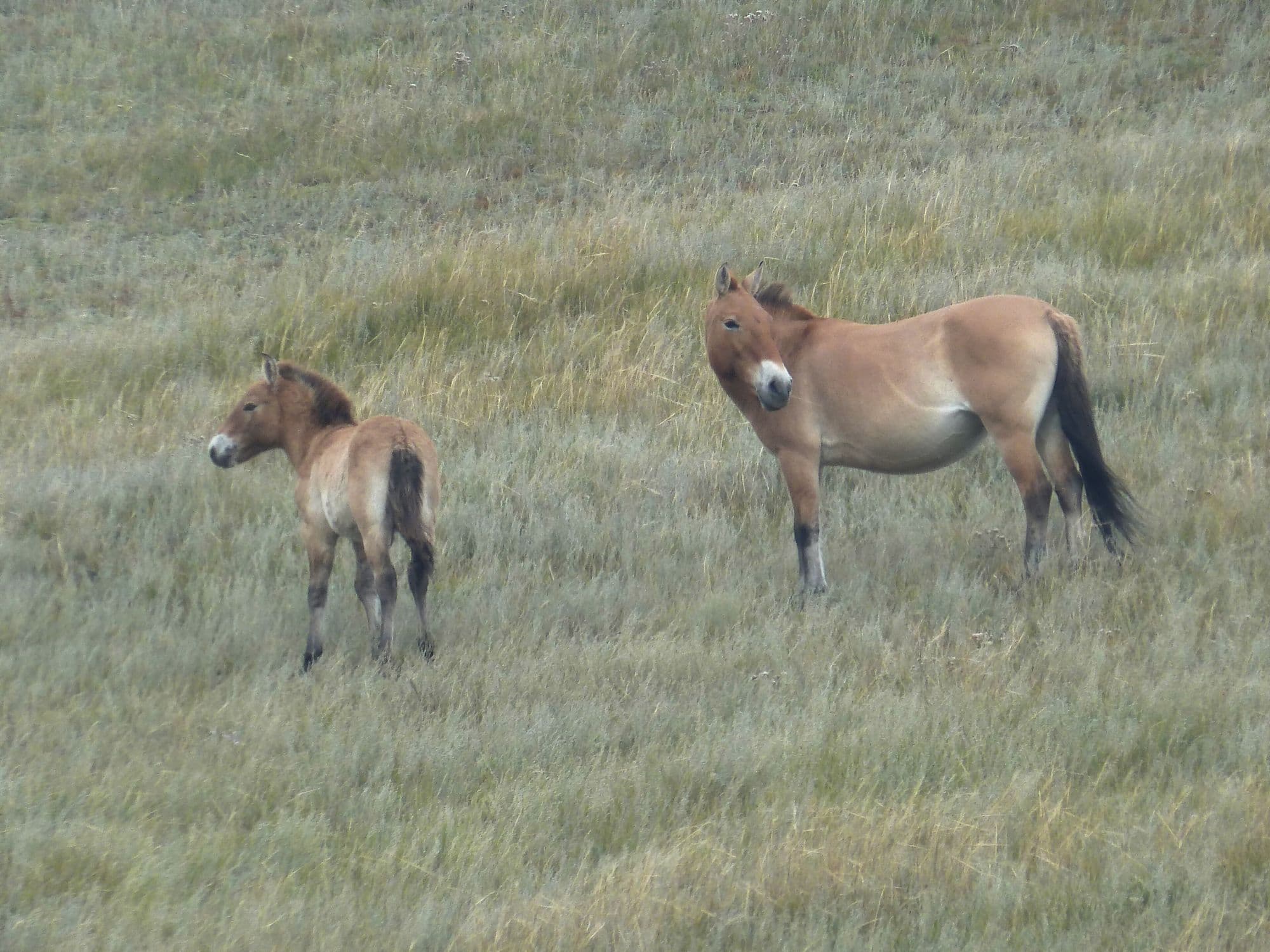
Hustai protects 506 km² of rolling hill steppe and birch pockets in the Khustai range, with the Tuul river running through it. It exists because of one animal: the takhi, or Przewalski's horse, the last truly wild horse, extinct in the wild by the late 1960s and released back here from zoo stock starting in 1992. The reintroduction worked. The area became a nature reserve in 1993 and a national park in 1998, and the population now stands at about 380 horses in 34 breeding harems plus more than 80 young stallions. It is the one place close to Ulaanbaatar where a two-hour drive buys you a realistic chance of wild horses at dusk.
- Best months
- Jun–Sep
Kharkhorin and Erdene Zuu Monastery
Övörkhangai · 360 km
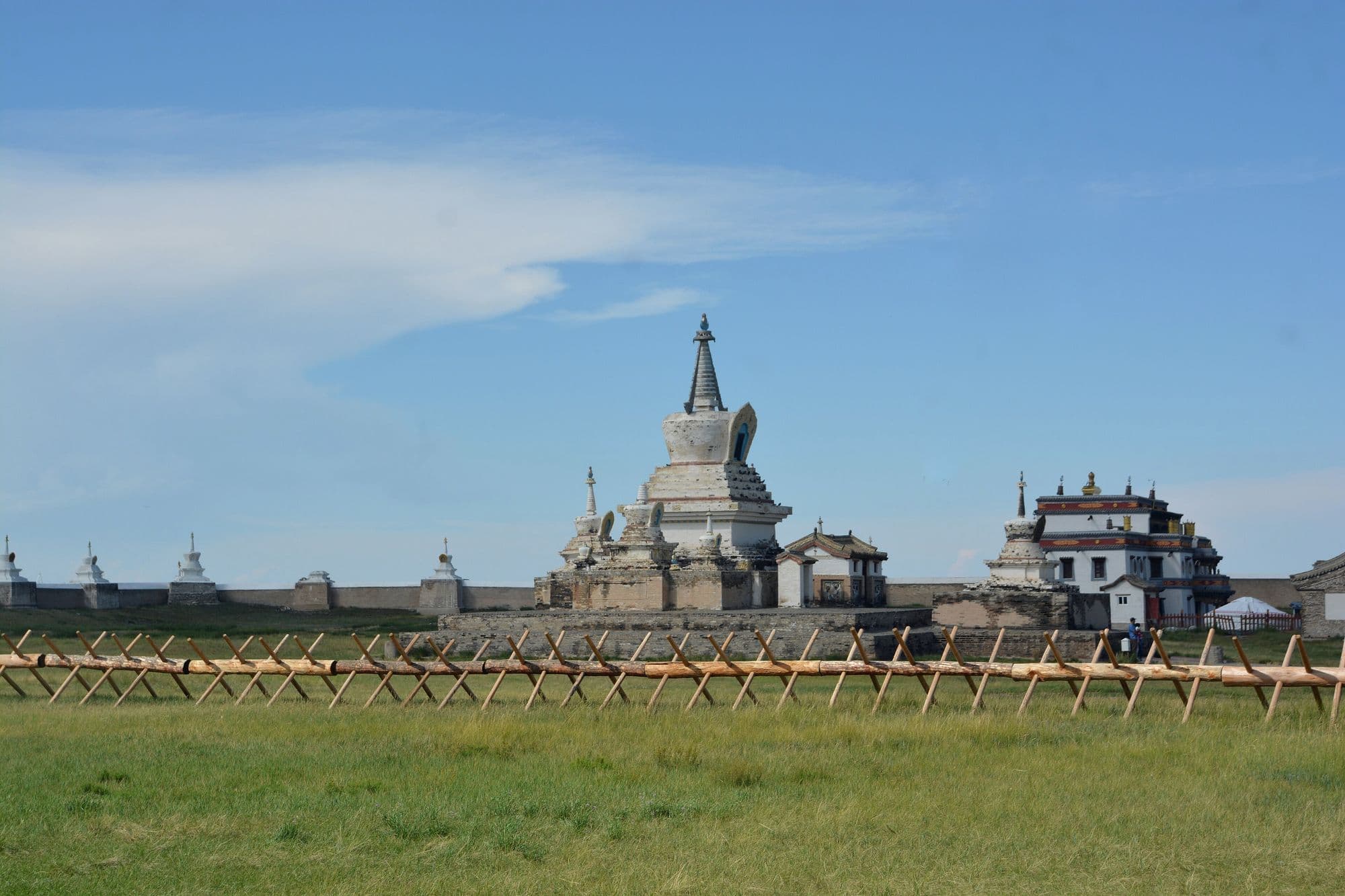
Kharkhorin sits at the lower end of the upper Orkhon valley, where the easternmost Khangai foothills meet open steppe. Just north of the modern town lie the ruins of Karakorum, briefly the imperial capital of the Mongol Empire under Ögedei Khan and the city William of Rubruck described in 1254. Built partly out of its stones in 1585, Erdene Zuu is probably the oldest surviving Buddhist monastery in Mongolia, a walled compound edged with stupas holding a handful of Chinese- and Tibetan-style temples and one working temple that still serves the town. Both sit inside the Orkhon Valley Cultural Landscape World Heritage Site.
- Best months
- Jun–Sep
Ögii Lake
Arkhangai · 340 km
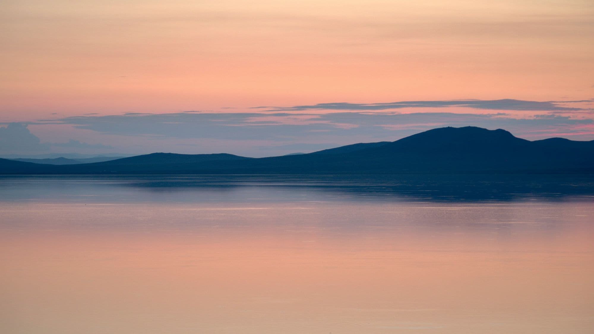
Ögii is a shallow steppe lake of about 25.7 km² at 1,337 metres, fed from the west by the Khögshin Orkhon and drained north-west by the Khooloi into the Orkhon proper. It has been a Ramsar wetland of international importance since 1998 and a BirdLife International Important Bird Area, with around 150 bird species recorded and a well-used migration stopover for ducks, geese and swans. Mongolians come for the fishing. For travellers it is the easiest lake to bolt onto a Kharkhorin trip - a warm swim, a quiet night and birds on the water at first light, for about half a day's detour.
- Best months
- Jun–Sep