Ömnögovi (Өмнөговь)· Баянзаг (Улаан эрэг)
Bayanzag (the Flaming Cliffs)
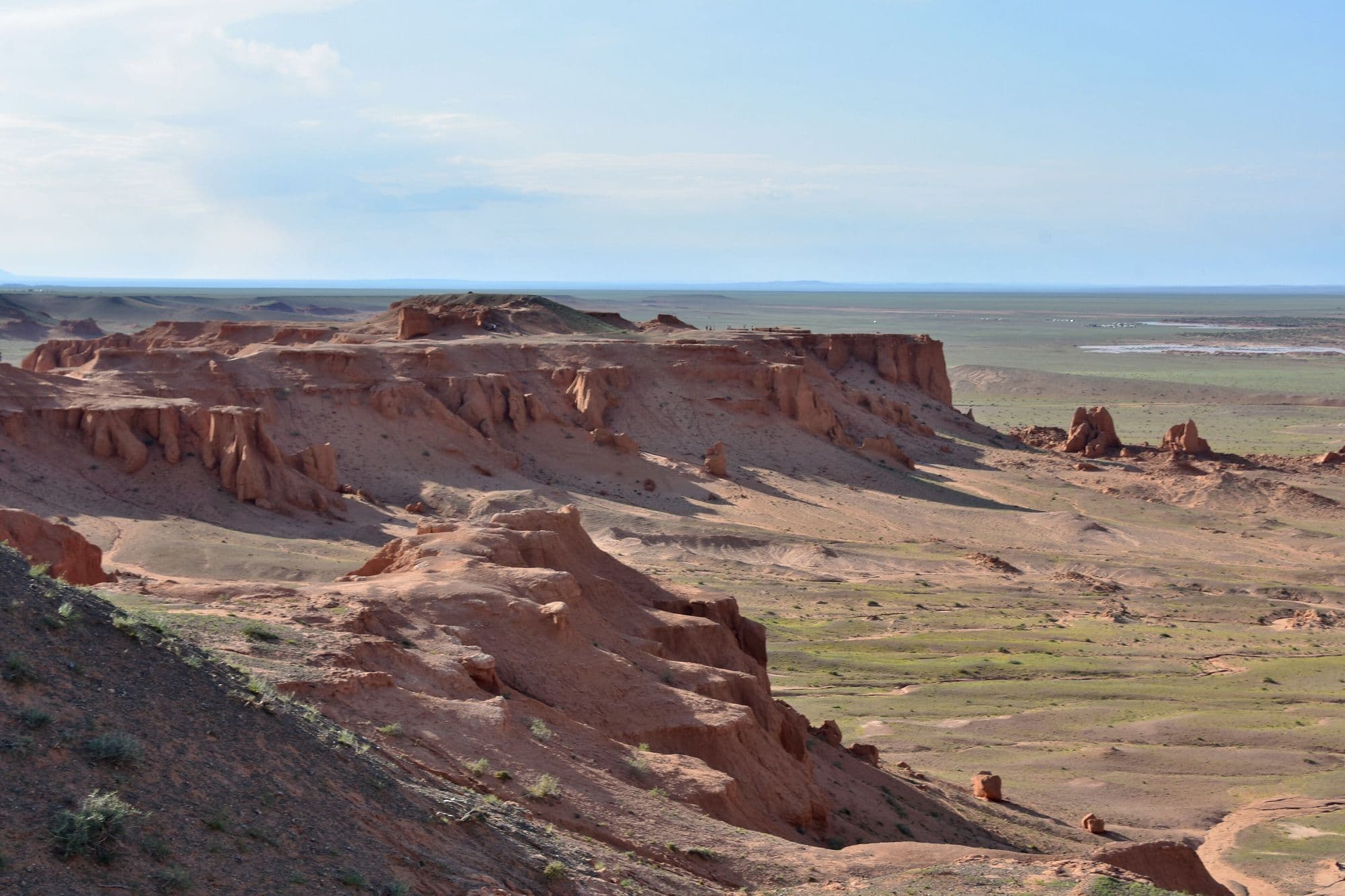
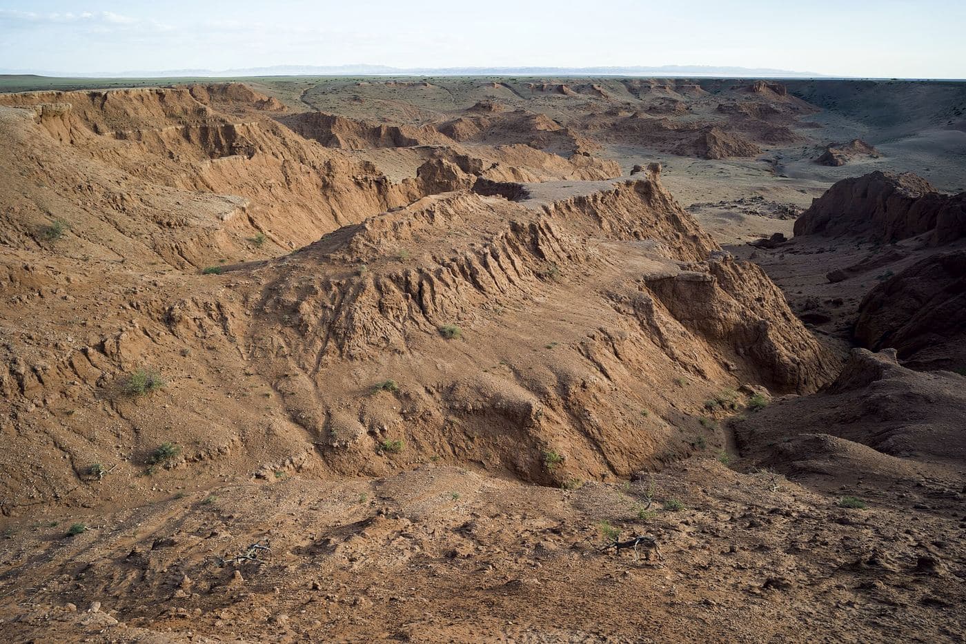
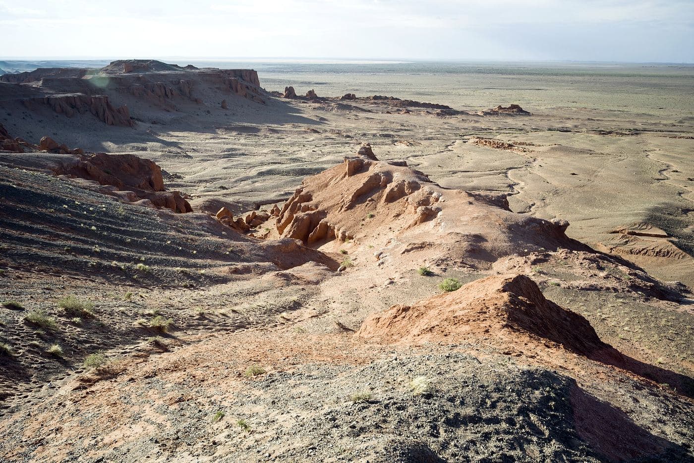
Bayanzag is a line of orange sandstone cliffs and badlands on the edge of a saxaul woodland, and it is the single most important site in the history of dinosaur palaeontology in Asia. Roy Chapman Andrews of the American Museum of Natural History named it the Flaming Cliffs in the 1920s for the colour the rock turns at sunset, and it was here that the first scientifically recognised dinosaur eggs were found. The rock belongs to the Djadochta Formation, which has also produced Velociraptor, Protoceratops, Oviraptor and some of the earliest known placental mammals. Visiting means walking the rim and the gullies below, which is a short and easy stop, and it is almost always timed for late afternoon.
- From Ulaanbaatar
- 667 km
- Drive time
- 10-12 hours driving, normally split over two days
- Altitude
- 1,247 m
- Typical stay
- 1 night at a camp near the cliffs, arriving for sunset
- Best months
- May–Sep
- Jan: not a best month
- Feb: not a best month
- Mar: not a best month
- Apr: not a best month
- May: a best month
- Jun: a best month
- Jul: a best month
- Aug: a best month
- Sep: a best month
- Oct: not a best month
- Nov: not a best month
- Dec: not a best month
Highlights
- The cliff face turning deep red-orange in the last hour of daylight
- Walking down into the gullies and badlands below the rim
- The saxaul (zag) woodland on the flats behind the cliffs - the tree the place is named for
- Marked excavation sites where expedition trenches were dug
- Fossil fragments visible in situ in the eroding sandstone (look, photograph, leave)
- Camel rides run by local families at the car park
- The small dinosaur interpretation site nearby
- Views across the Gobi plain towards the Gurvan Saikhan range
Season notes
The visit is short and works from May to September. Late afternoon is non-negotiable if you want the colour. Midsummer midday is fiercely hot with no shade. Spring wind carries dust that flattens the light and grits everything. September is quieter, cooler and photographically the best, but camps start closing in October.
From Ulaanbaatar
Paved highway from Ulaanbaatar via Mandalgovi to Dalanzadgad, then roughly 100 km of gravel and dirt track north-west via Bulgan sum. Many itineraries instead arrive on the track from Yolyn Am or leave west towards Khongoryn Els, both of which are unpaved.
By air
Dalanzadgad (DLZ) has scheduled flights from Ulaanbaatar; the cliffs are about 2 hours by road from the airport.
Where to stay
- Several ger camps within a few kilometres of the cliffs, including Three Camel Lodge (an upmarket lodge that does not publish rates online) and a cluster of standard camps mapped in OpenStreetMap
- Standard tourist ger camp: roughly USD 40-70 per person per night including three meals (2026)
- En-suite or deluxe ger camp: roughly USD 80-150 per person per night including meals (2026)
- Luxury lodge or glamping: roughly USD 150-400 per person per night (2026)
Be aware
Sources (6)
- Flaming Cliffs - Wikipedia — Coordinates, both Mongolian names and their meanings, Roy Chapman Andrews naming the site, first dinosaur eggs, the Djadochta Formation, the fauna list, and the permit rule on removing fossils
- Баянзаг - Russian Wikipedia — Confirming coordinates, the Ömnögovi location, the 1946 Efremov expedition and the sunset colour of the sandstone
- Discover Mongolia - Top 10 destinations — 1923 as the year the dinosaur eggs were found
- Discover Mongolia - Bayanzag, rich saxaul — Andrews arriving in 1920 and working two years, and a skeleton from the expeditions held in the Ulaanbaatar natural history collection
- OpenStreetMap - Flaming Cliffs trails, excavation site, saxaul forest and ger camps — Visitor coordinates, the marked trails and excavation site, the saxaul woodland, the ger camps and the Korean-language name tag
- Three Camel Lodge - Rates — Confirming the lodge exists near the cliffs and that it publishes no public nightly rate
Often combined with
Yolyn Am (Vulture's Gorge, often 'Eagle Valley')
Ömnögovi · 624 km
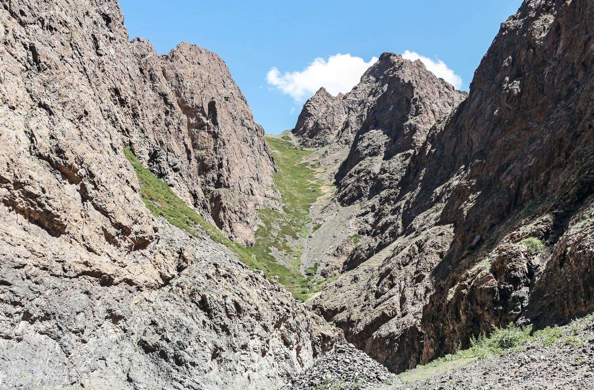
Yolyn Am is a narrow gorge cut into the Zuun Saikhan range inside Gobi Gurvansaikhan National Park, and it is the one place in the South Gobi where the desert stops feeling like desert. The walls close to a few metres apart, a stream runs along the floor, and for much of the year a sheet of ice sits in the shaded narrows. It is named after the yol, the bearded vulture that nests on the cliffs above. Visitors park at the mouth, pass a small natural history museum, and walk or ride a horse a few kilometres up the valley to the ice.
- Best months
- May–Sep
Khongoryn Els (the Singing Dunes)
Ömnögovi · 838 km
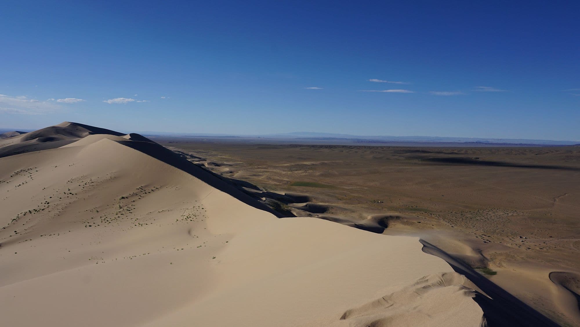
Khongoryn Els is the largest dune field in Mongolia, a band of sand running along the back of the Sevrei and Zöölön ranges with crests that rise as much as 300 m above the plain. Its nickname comes from the low droning hum the sand makes as grains slide and rub against each other on a windy day. The contrast is what makes it: bare rock mountains to the south, a wall of sand in the middle, and on the north side a green ribbon of oasis where the Khongoryn Gol stream surfaces and nomad families graze camels. Climbing the high dune for sunset is the standard reason people come, and it is much harder work than it looks.
- Best months
- Jun–Sep
Ongi Monastery (Ongiin Khiid)
Dundgovi · 528 km
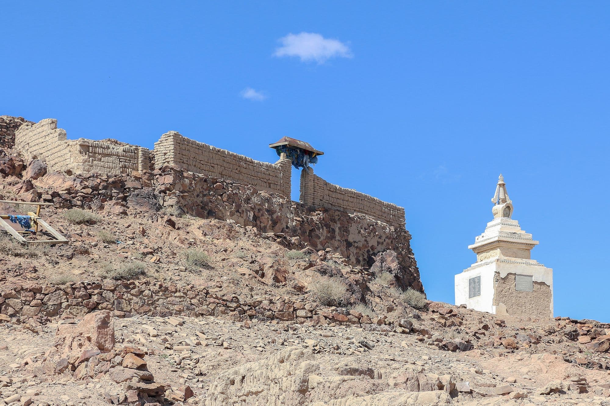
Ongi is the ruin of what was once one of the largest monastic complexes in Khalkha Mongolia, spread across both banks of the Ongi river at the foot of Saikhan-Ovoo mountain. It grew from the late 18th century into a centre of over a thousand monks with separate colleges for philosophy, tantra, medicine and mathematics, and it was destroyed in the Stalinist purges of the 1930s. What remains is a field of broken walls, foundations and standing stupas, with one small temple rebuilt since the 1990s and a handful of monks again in residence. It sits almost exactly where a Gobi loop needs a night, and the contrast between the scale of the ruins and the emptiness around them is the point.
- Best months
- May–Sep
Khermen Tsav
Ömnögovi · 1,029 km
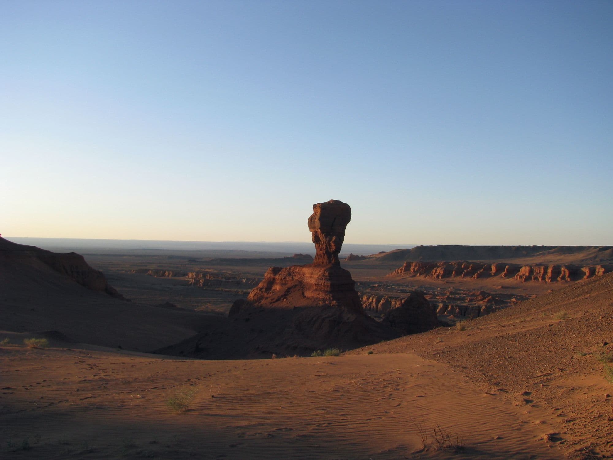
Khermen Tsav is a deep red canyon system cut into the far western Gobi, a maze of eroded sandstone walls, towers and spurs that Russian-speaking visitors nicknamed the Mongolian sphinxes. It is one of the richest Late Cretaceous fossil localities anywhere, the reference area for the Hermiin Tsav beds of the Barun Goyot Formation, and the sandstone preserves an ancient landscape that was itself a dune field. Almost nobody gets here: it is hundreds of kilometres of desert track from the nearest paved road, with no settlement, no fuel and no mobile signal. That remoteness is exactly why serious photographers and expedition travellers make the effort.
- Best months
- May–Jun, Sep