Uvs (Увс аймаг)· Увс нуур
Uvs Lake (Uvs Nuur) and its UNESCO basin
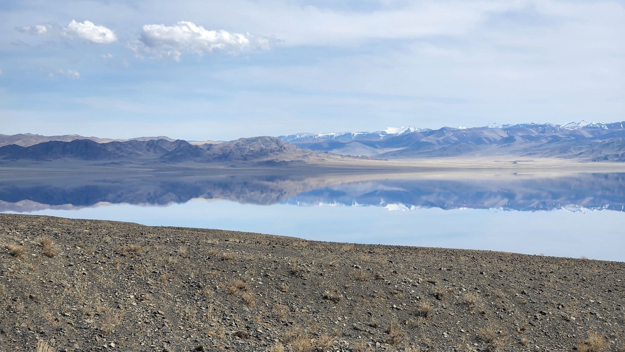
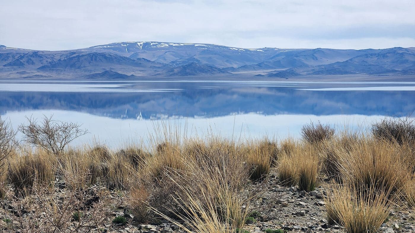
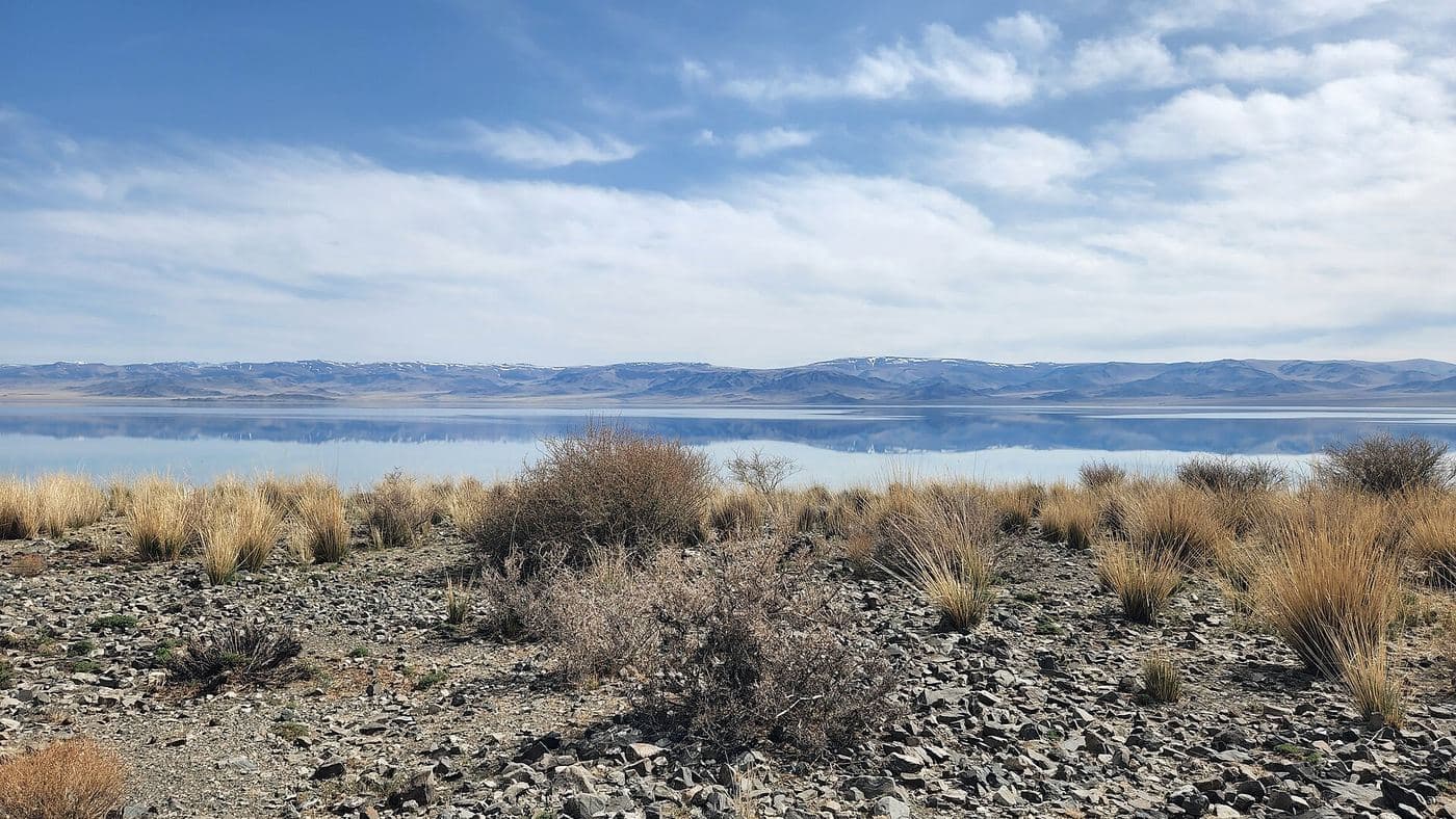
Uvs Nuur is Mongolia's largest lake by surface area, a shallow, intensely salty sheet of water at 759 m that has no outlet and sits at the centre of a transboundary basin shared with Russia's Tuva. The basin was inscribed on the UNESCO World Heritage List in 2003 and added to the Ramsar list in 2004, because within one catchment it holds desert dunes, salt marsh, steppe, taiga, tundra and glaciated mountains, and is one of the last remnants of the mammoth steppe. Practically, visitors base themselves in Ulaangom and drive out to the shore for birdlife and the extraordinary emptiness, then head south-west into the Kharkhiraa and Turgen mountains for walking and horse trekking. It is one of the least visited corners of Mongolia, and also one of the harshest: the basin has recorded both -58 C and +47 C.
- From Ulaanbaatar
- 1,370 km
- Drive time
- 17-22 hours of driving, in practice 2-3 days; the scheduled bus takes 24-28 hours
- Altitude
- 759 m
- Typical stay
- 3-5 nights, or 6-8 if trekking in the Kharkhiraa-Turgen
- Best months
- Jun–Sep
- Jan: not a best month
- Feb: not a best month
- Mar: not a best month
- Apr: not a best month
- May: not a best month
- Jun: a best month
- Jul: a best month
- Aug: a best month
- Sep: a best month
- Oct: not a best month
- Nov: not a best month
- Dec: not a best month
Highlights
- The salt shoreline of Uvs Nuur, 3,350 km2 of water with an average depth of only about 6 m
- Birdlife in the reed beds and salt marsh - the basin lists 173 bird species
- The Kharkhiraa and Turgen massif south-west of Ulaangom, with Kharkhiraa Uul at 4,040 m
- Horse and foot treks over the Kharkhiraa pass into the Turgen river valley
- Achit Lake on the Bayan-Olgii border, a freshwater lake of 290 km2 at 1,435 m, 28 by 16 km and only about 10 m deep
- Sand dunes, salt flats and steppe within a single day's driving, the reason the basin is a World Heritage site
- Bayad and Dorvod herding culture around Ulaangom, and Tuvan communities in the west of the province
- The sheer scale of an undeveloped landscape, with snow leopard and argali in the surrounding ranges
Season notes
June to September is the usable season. The lake freezes from around October to May, and Uvs is generally regarded as Mongolia's coldest province, with a January mean minimum near -36 C and a record low around -49.6 C at Ulaangom; the basin as a whole has recorded -58 C. Summers are hot and short - Ulaangom averages about 27 C in the warmest month and has reached 38.4 C - with the basin recording extremes to 47 C. Mountain treks in the Kharkhiraa need July or August because of snow on the passes.
From Ulaanbaatar
Wikipedia gives the province as 1,336 km from Ulaanbaatar and routing engines return about 1,372 km to Ulaangom. Much of the trunk route is paved but the final approaches and everything off the main road, including the lake shore tracks and the mountain valleys, are dirt. Buses leave Ulaanbaatar daily at 11:00, 15:00 and 17:00 for 100,000 MNT, with a VIP service every other day at 160,000 MNT (Wikivoyage).
By air
Ulaangom Airport (ULO) is served from Ulaanbaatar by Aero Mongolia (Tuesday, Thursday, Saturday) and Hunnu Air, per Wikivoyage; the airport is 13 km outside the town, so arrange a transfer.
Where to stay
- Hotels in Ulaangom, including budget and mid-range options; Wikivoyage lists Baylagod, Sarnai and Achit Nuur among them but gives no rates, so 2026 prices are unconfirmed
- Ger camps and homestays in the Kharkhiraa-Turgen valleys, arranged locally
- Own tent: camping by the lake and in the mountain valleys is normal practice
Be aware
Sources (5)
- Uvs Lake - Wikipedia — Coordinates 50.3 N 92.7 E, 3,350 km2, 84 x 79 km, average depth 6 m, 759 m elevation, 1.88% salinity, UNESCO 2003 and Ramsar 2004, 173 birds / 41 mammals / 29 fish, -58 C to 47 C, ice October to May, Korean and Japanese names
- Wikipedia extracts for Kharkhiraa, Turgen, Achit Lake and the Uvs Lake Basin — Kharkhiraa 4,040 m at 49.57 N 91.39 E, Turgen sum in the valley between the Kharkhiraa and Turgen ranges, Achit Lake 290 km2 at 1,435 m and 28 x 16 x 10 m, the basin as a remnant mammoth steppe
- Wikipedia extracts for Uvs Province and Ulaangom — Province 1,336 km from Ulaanbaatar, Ulaangom at 936 m, 26 km south-west of Uvs Lake and 120 km south of the Russian border
- Ulaangom - Wikivoyage (via MediaWiki API extract) — Bus 24-28 hours with departures at 11:00/15:00/17:00, 100,000 MNT standard and 160,000 MNT VIP, Aero Mongolia Tue/Thu/Sat and Hunnu Air, airport 13 km out, January mean minimum -36 C and record -49.6 C, summer average 27.1 C and record 38.4 C, hotels, lake 15-20 minutes from town
- OSRM driving distance table from Ulaanbaatar — About 1,372 km and 17 hours of driving from Ulaanbaatar to Ulaangom
Often combined with
Bayan-Olgii Kazakh eagle hunters and the eagle festivals
Bayan-Olgii · 1,620 km
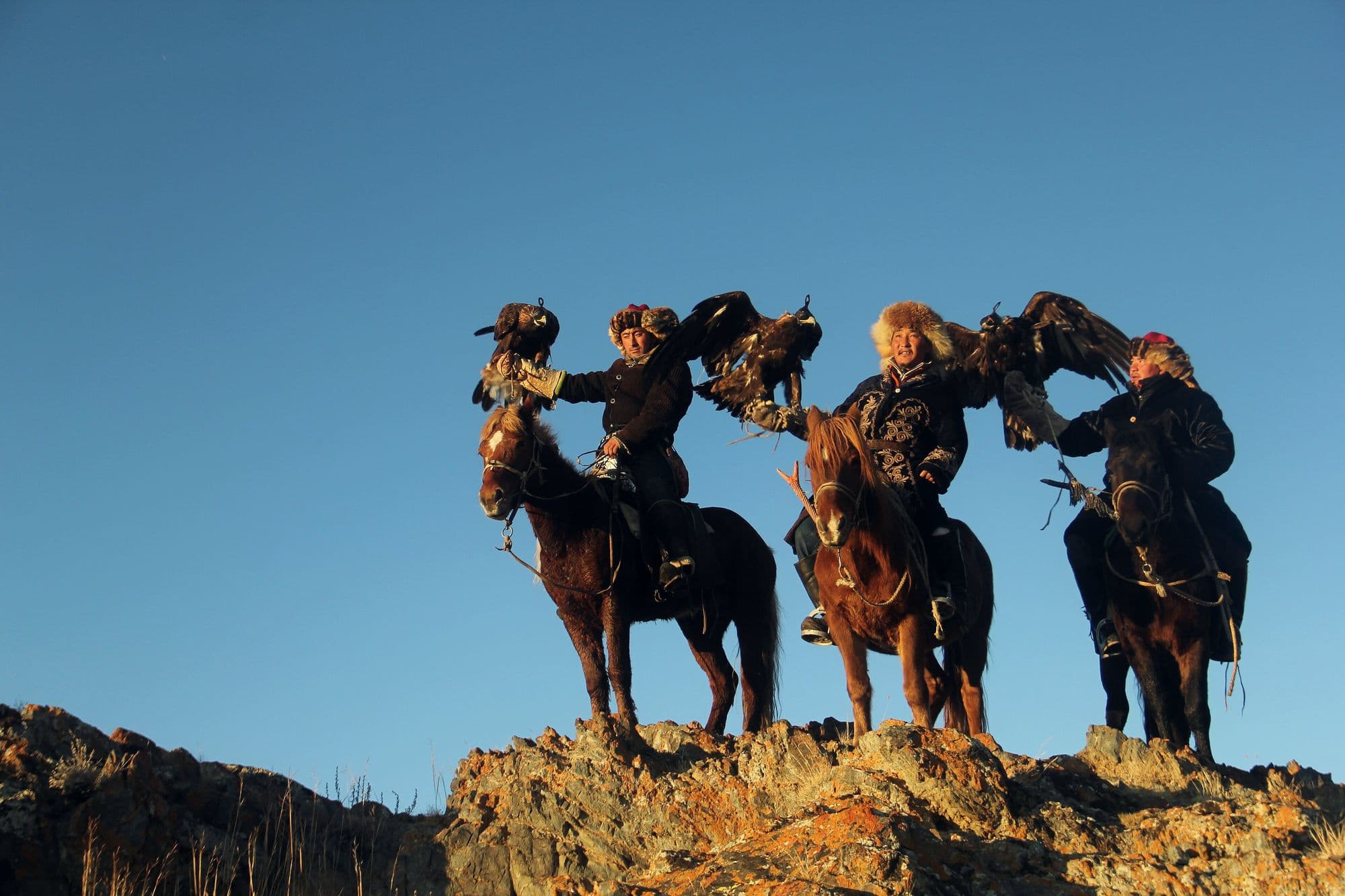
Bayan-Olgii is Mongolia's only Kazakh-majority province, and the practice that defines it is hunting foxes and hares from horseback with a trained golden eagle. Around 250 active eagle hunters are counted in the province, and two autumn festivals - a smaller one at Sagsai in September and the main Golden Eagle Festival near Olgii in early October - bring them together to be judged on how their birds fly to the fist, how they take a lure, and on their costume and kit. Around the festivals the province is worth days in its own right: mosques and bazaars in Olgii, Kazakh embroidery and felt-work, and family gers with an eagle on a block outside. The real hunting season, though, runs through the winter, from about mid-October to the end of February.
- Best months
- Sep–Oct
Altai Tavan Bogd National Park
Bayan-Olgii · 1,620 km
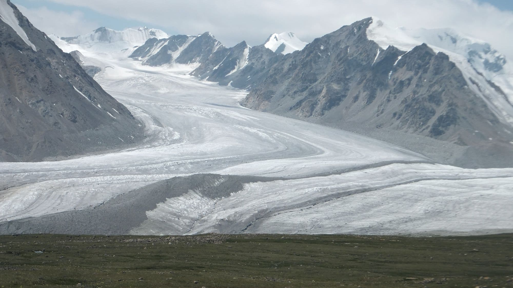
Altai Tavan Bogd protects Mongolia's highest corner, a 6,362 km2 block of glaciated peaks, cold blue lakes and Kazakh and Tuvan summer pastures against the Russian and Chinese borders. Its centrepiece is the Tavan Bogd, the 'Five Saints' massif, topped by Khuiten Peak on the Mongolia-China boundary, with the Potanin Glacier - Mongolia's longest at about 14 km - running below it. South of the peaks the freshwater lakes Khoton, Khurgan and Dayan sit in wide valleys used by herding families, and the Tsagaan Salaa valley holds thousands of Bronze Age rock carvings inscribed by UNESCO. Nothing here is quick: reaching the base camp means a long day on dirt from Olgii, and the mountain itself needs guides, permits and crampons.
- Best months
- Jun–Sep