Khentii (Хэнтий аймаг), capital Chinggis City (formerly Ondorkhaan)· Хэнтий аймгийн Дадал сум
Dadal, Khentii - Chinggis Khaan's birthplace country
Dadal sits in the far north-east of Khentii, in pine and larch country on the Onon river, and is the best known of several places in Mongolia that claim to be the birthplace of Chinggis Khaan. A stone monument to him stands on a hill above the village, the Gurvan Nuur (Three Lakes) sit in the forest nearby, and the Khajuu Bulag mineral spring draws Mongolian visitors who come to drink it. The village itself is a Buryat settlement of log cabins rather than gers, and it stands just south of Onon-Balj National Park, where the Onon valley runs north into Russia. It is the strongest historical destination in eastern Mongolia and the easiest one to sell to visitors who come for the Chinggis story rather than for landscape alone.
- From Ulaanbaatar
- 591 km
- Drive time
- 10-12 hours, usually broken with a night on the way
- Typical stay
- 2-3 nights in Dadal, inside a 5-7 night eastern loop
- Best months
- Jun–Sep
- Jan: not a best month
- Feb: not a best month
- Mar: not a best month
- Apr: not a best month
- May: not a best month
- Jun: a best month
- Jul: a best month
- Aug: a best month
- Sep: a best month
- Oct: not a best month
- Nov: not a best month
- Dec: not a best month
Highlights
- The Chinggis Khaan monument above Dadal, marking the claimed birthplace at Deluun Boldog
- Gurvan Nuur, three small forest-fringed lakes beside the village
- Khajuu Bulag, a mineral spring that Mongolians visit to drink from
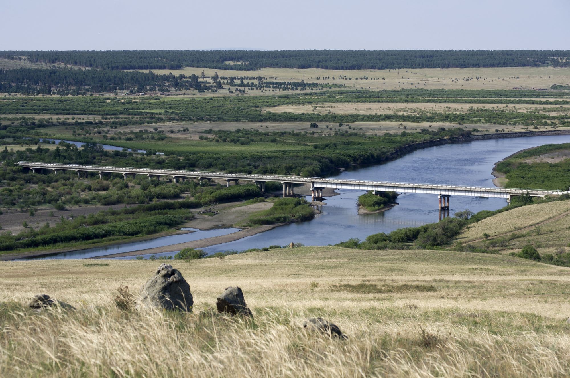
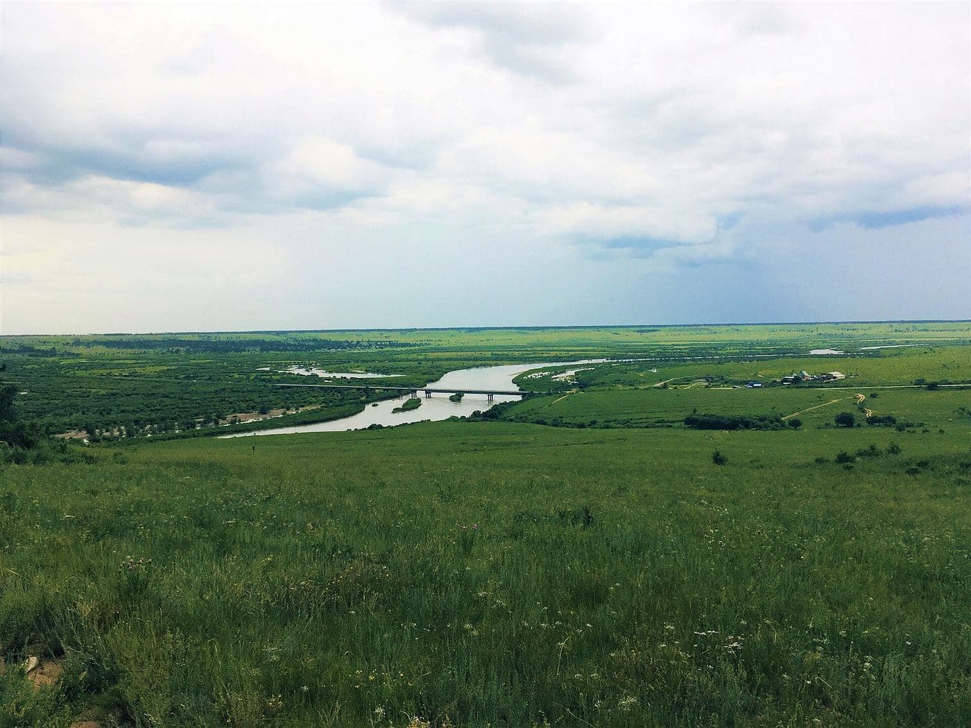
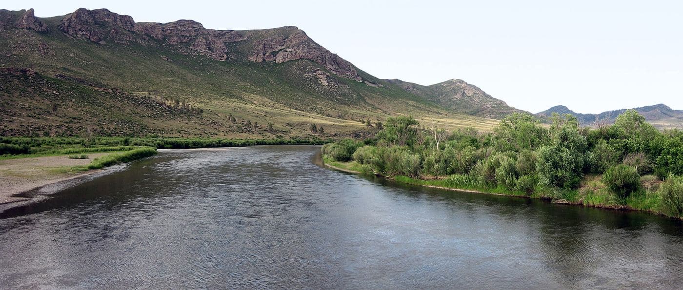
- The Onon river, running north out of Mongolia into Russia's Amur system, and the Onon river bridge
- Onon-Balj National Park immediately north, where the land rises from 840 m at the river to 1,568 m at Kentsuu Mountain
- Buryat log-cabin village architecture and Buryat food, unlike anywhere else in Mongolia
- Birdlife of the Onon valley, an Important Bird Area for swan goose, white-naped crane and lesser kestrel
- The transition zone where Siberian pine and larch forest meets Daurian steppe
Season notes
June to September is the window. Early summer is greenest and the lakes and spring are at their best; September brings gold larch and no insects. Winters in north-east Khentii are severe and the dirt roads in from the south can be blocked by snow, while spring thaw and summer thunderstorms turn them to mud - the Onon valley is one of the wetter parts of Mongolia. Mosquitoes and ticks are a genuine issue from June to August in the river forest.
From Ulaanbaatar
Paved on the main eastern highway for the first part of the route, then dirt for the long northern leg up to Binder, Batshireet and Dadal. Routing engines give about 591 km and 10.6 hours. A high-clearance vehicle is needed and river crossings can be an issue after rain. For comparison, Onon-Balj National Park is described as 280 km from Ulaanbaatar in a straight-line sense, but the driving route is far longer.
By air
No scheduled flights to Dadal. The nearest useful air links are to Choibalsan in Dornod, from which Dadal is a long drive; most visitors go overland from Ulaanbaatar.
Where to stay
- Small ger camps and guesthouses around Dadal and the Gurvan Nuur lakes; 2026 rates were not confirmed from a primary source
- Homestays in Buryat log cabins in the village
- Camping: Wikivoyage notes that in this part of Khentii bringing a tent and sleeping almost anywhere is practical
- For reference on regional rates, Wikivoyage quotes horse riding in Khentii at about 20,000-30,000 MNT per hour (retrieved September 2026)
Be aware
Sources (6)
- Dadal, Khentii - Wikipedia — 4,727 km2 area, population 3,212 in 2021, four bags, Buryat township living in log cabins, the Chinggis Khaan birthplace claim and monument, the Onon river bridge, position just south of Onon-Balj National Park
- Onon-Balj National Park - Wikipedia (via API extract) — Two sectors of the Onon valley, 280 km from Ulaanbaatar, elevations 840 m to 1,568 m at Kentsuu Mountain, Important Bird Area species, forest-to-steppe transition, Genghis Khan association
- OpenStreetMap Nominatim entry for Дадал — Dadal village coordinates 49.0212 N, 111.6203 E in Khentii aimag
- Khar Zurkhnii Khokh Nuur - Wikivoyage (via MediaWiki API extract) — The 1189 proclamation site in Khentii, regional horse-riding rates of 20,000-30,000 MNT per hour, the practicality of camping, about 330 km and 6-8 hours from Ulaanbaatar to that lake
- Burkhan Khaldun - Wikipedia (via API extract) — UNESCO inscription of Great Burkhan Khaldun Mountain on 4 July 2015
- OSRM driving distance table from Ulaanbaatar — About 591 km and 10.6 hours of driving from Ulaanbaatar to Dadal
Often combined with
The Eastern Steppe, Dornod
Dornod · 757 km
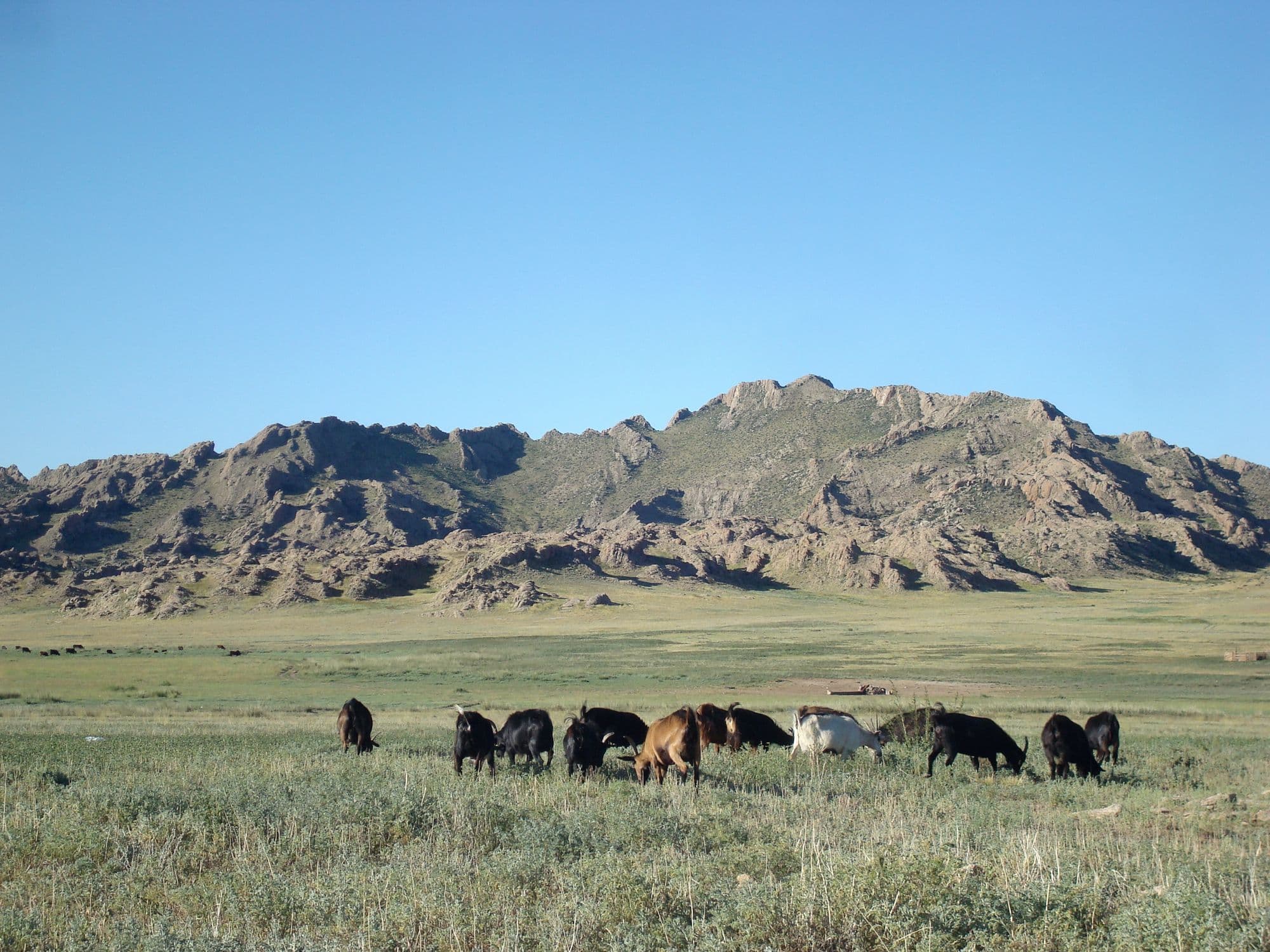
Dornod is Mongolia's easternmost province and the place where the country stops being mountainous: about 123,500 km2 of almost unbroken grassland, one of the largest intact temperate steppes left anywhere. The draw is not a single sight but the scale of it, and the Mongolian gazelle herds that move across it - typically groups of twenty to a hundred, but with a recorded mega-herd of a quarter of a million seen on these steppes in 2007. Around the grassland sit the 1939 Khalkhin Gol battlefield near the Chinese border, Buir Lake shared with China, and the Daurian wetlands in the north that carry migrating cranes. Choibalsan is the only real base, reachable by a long paved drive, a 15-hour bus or a short flight.
- Best months
- Jun–Sep