Dornod (Дорнод аймаг)· Дорнодын хээр тал
The Eastern Steppe, Dornod
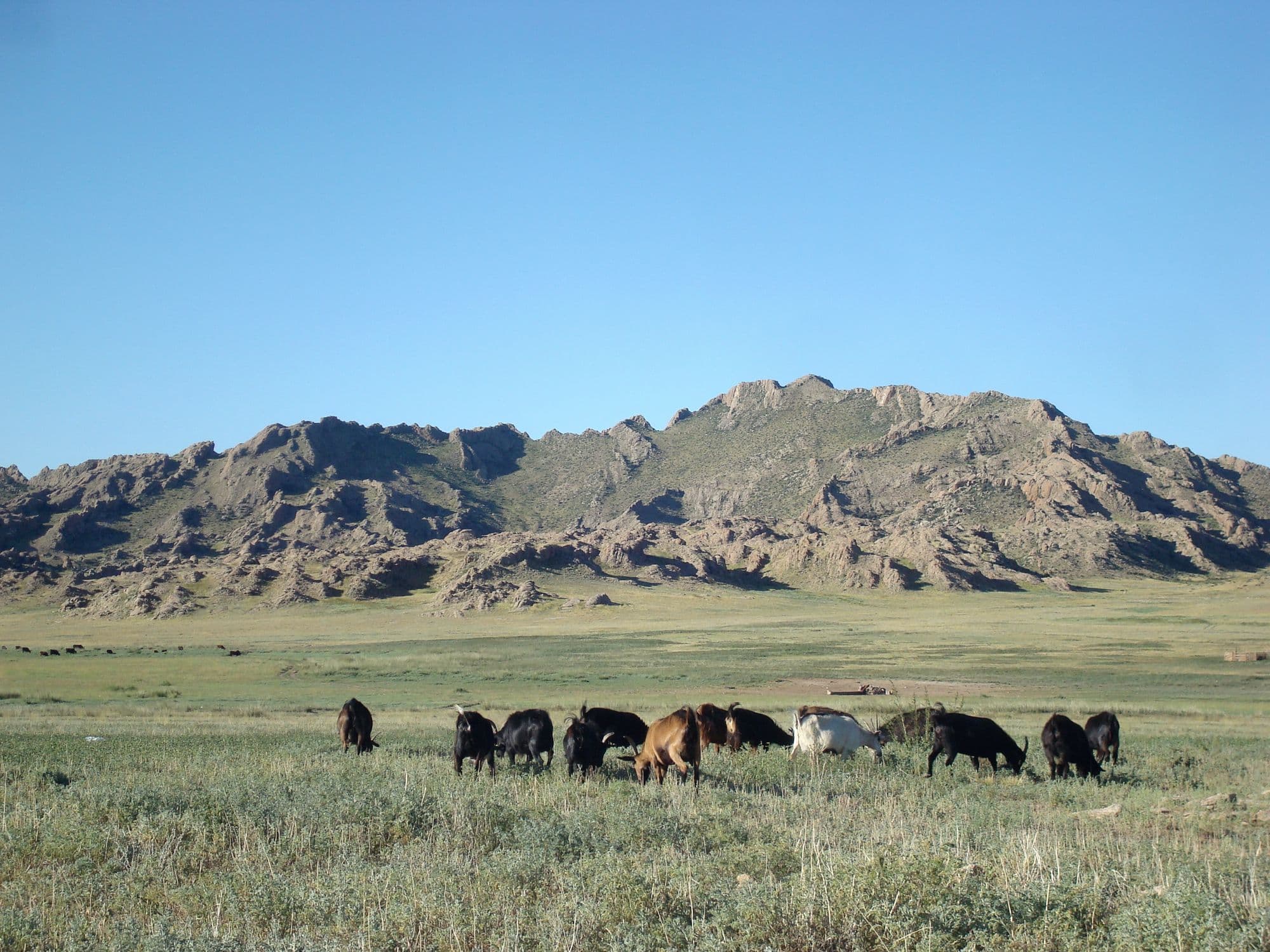
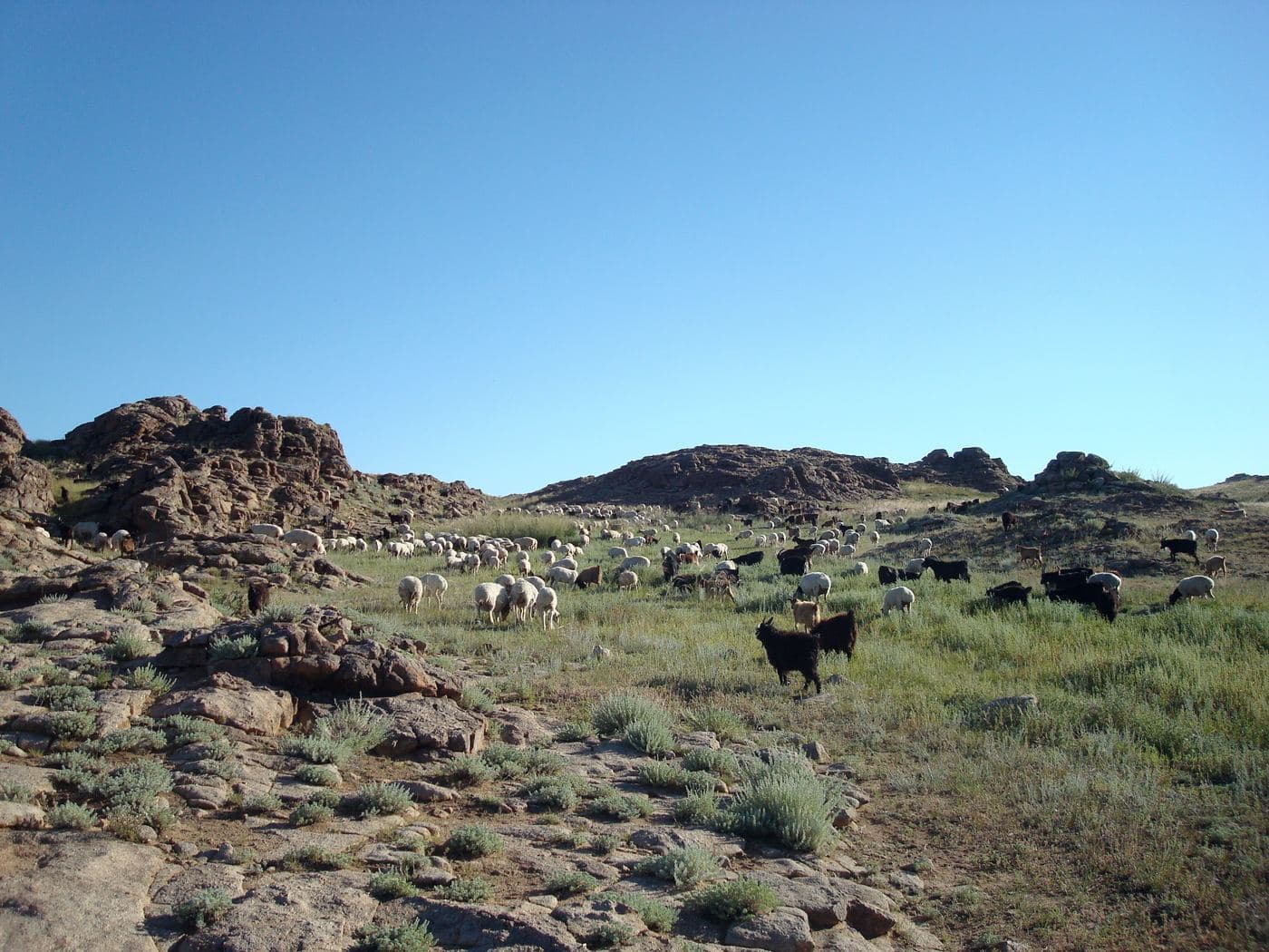
Dornod is Mongolia's easternmost province and the place where the country stops being mountainous: about 123,500 km2 of almost unbroken grassland, one of the largest intact temperate steppes left anywhere. The draw is not a single sight but the scale of it, and the Mongolian gazelle herds that move across it - typically groups of twenty to a hundred, but with a recorded mega-herd of a quarter of a million seen on these steppes in 2007. Around the grassland sit the 1939 Khalkhin Gol battlefield near the Chinese border, Buir Lake shared with China, and the Daurian wetlands in the north that carry migrating cranes. Choibalsan is the only real base, reachable by a long paved drive, a 15-hour bus or a short flight.
- From Ulaanbaatar
- 757 km
- Drive time
- 11-14 hours; the scheduled bus runs about 15 hours
- Altitude
- 747 m
- Typical stay
- 4-6 nights; 6-8 if adding Khalkhin Gol and Buir Lake
- Best months
- Jun–Sep
- Jan: not a best month
- Feb: not a best month
- Mar: not a best month
- Apr: not a best month
- May: not a best month
- Jun: a best month
- Jul: a best month
- Aug: a best month
- Sep: a best month
- Oct: not a best month
- Nov: not a best month
- Dec: not a best month
Highlights
- The Menen steppe east of Choibalsan, flat grassland to the horizon in every direction
- Mongolian gazelle herds on the move, especially around the June-July calving period
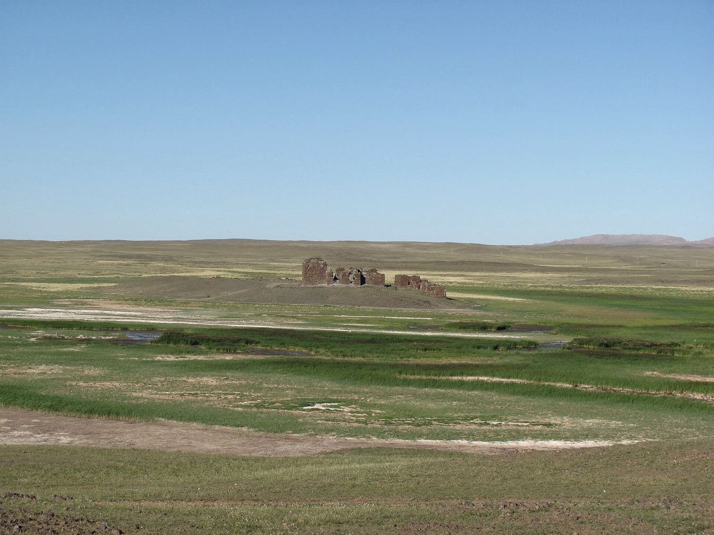
- The Khalkhin Gol battlefield, where Soviet and Mongolian forces under Zhukov defeated the Japanese in 1939 with well over 50,000 troops on each side, and the memorials around it
- Buir Lake on the Chinese border, a freshwater lake that gave its name to Hulunbuir
- The Kherlen river, one of Mongolia's two longest at 1,254 km, running through Choibalsan
- Mongol Daguur in the north, part of the transboundary Daurian steppe and wetland system, important for cranes
- Buryat, Barga, Uzemchin and Hamnigan communities - the Buryat alone are 22.8% of the province
- Night skies and horizon-to-horizon sunsets with no relief to interrupt them
Season notes
June to September. Gazelle calving falls in June and July and is the best time to see large concentrations; herds group into bigger numbers again towards winter, when they are typically around a hundred animals rather than the summer twenties and thirties. Spring is windy and dusty, autumn is short and clear. Winter on the eastern steppe is severe and fully exposed, with little shelter of any kind, and unpaved tracks off the main highway can be impassable in snow or after summer rain.
From Ulaanbaatar
Paved roads now run all the way to Baruun-Urt and Choibalsan via the eastern highway, so this is a straightforward if long drive; routing engines return about 757 km and 11 hours. Everything beyond the highway - Khalkhin Gol, Buir Lake, the Menen steppe, Mongol Daguur - is dirt track across open grassland, where a GPS and a local driver matter more than a road.
By air
Choibalsan Airport (COQ) has flights from Ulaanbaatar with Hunnu Air on Monday, Wednesday and Saturday, plus international services to Hailar and Manzhouli in Inner Mongolia, China.
Where to stay
- Hotels in Choibalsan - Wikivoyage lists Choibalsan Hotel, OLikhon, Royal, Buriad and East Palace - but gives no rates, so 2026 prices are unconfirmed
- Ger camps are few; herder homestays and own-tent camping are the normal way to sleep on the steppe
- Simple guesthouses in sum centres such as Khalkhgol and Sumber towards the Chinese border
Be aware
Sources (7)
- Dornod Province - Wikipedia — About 123,500 km2, 76,507 people in 2017, 14 sums, Buryat 22.8% plus Barga/Uzemchin/Hamnigan, capital Choibalsan, 1941 founding and 1963 renaming, Choibalsan airport flights to Ulaanbaatar and Hailar, 2.82% of GDP in 2018, Korean and Japanese names
- Mongolian gazelle - Wikipedia — About 1.5 million animals, range split 91% Mongolia, herd sizes 20-30 in summer and about 100 in winter up to 5,000, the quarter-million mega-herd seen in 2007, calving in June and July, IUCN Least Concern
- Choibalsan - Wikivoyage (via MediaWiki API extract) — 747 m elevation on the Kherlen river, daily bus leaving Ulaanbaatar at 08:00 and arriving about 23:00, Hunnu Air Mon/Wed/Sat, international flights to Hailar and Manzhouli, Khalkhin Gol with well over 50,000 troops a side, hotel names
- Eastern Mongolia - Wikivoyage (via MediaWiki API extract) — Paved roads now reach Baruun-Urt and Choibalsan, daily flights to Choibalsan, gazelle visible on the drive, Mongol Daguur as a destination
- Wikipedia extracts for Khalkhin Gol and Buir Lake — The Khalkh river as the border with Inner Mongolia and its 1939 significance, Buir Lake straddling the Mongolia-China border and the origin of the name Hulunbuir
- Wikipedia extracts for the Battles of Khalkhin Gol and the Kherlen River — Zhukov's three-pronged 1939 offensive involving the USSR, Mongolia, Japan and Manchukuo; Kherlen river length 1,254 km
- OSRM driving distance table from Ulaanbaatar — About 757 km and 11 hours of driving from Ulaanbaatar to Choibalsan
Often combined with
Dadal, Khentii - Chinggis Khaan's birthplace country
Khentii · 591 km
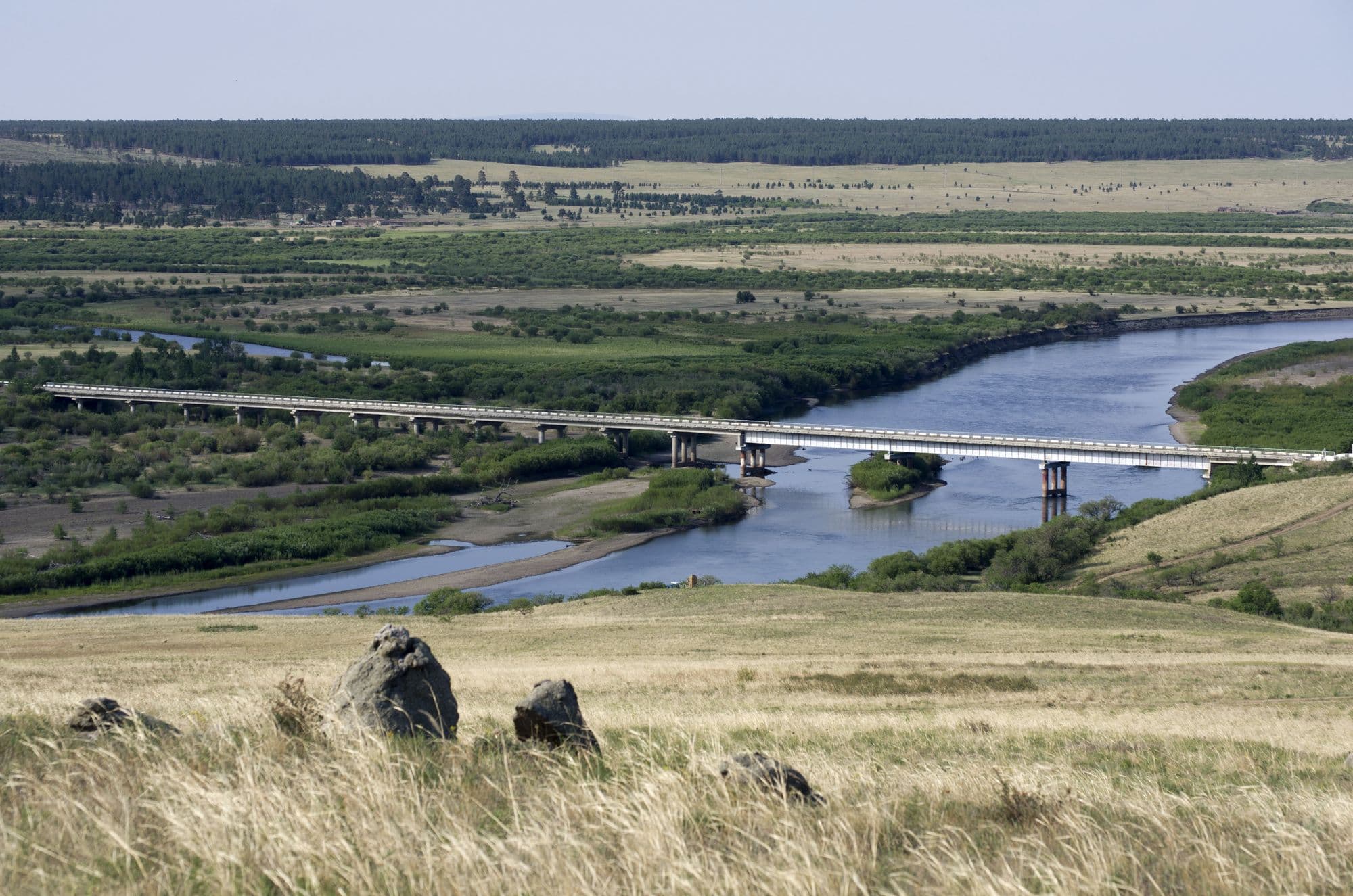
Dadal sits in the far north-east of Khentii, in pine and larch country on the Onon river, and is the best known of several places in Mongolia that claim to be the birthplace of Chinggis Khaan. A stone monument to him stands on a hill above the village, the Gurvan Nuur (Three Lakes) sit in the forest nearby, and the Khajuu Bulag mineral spring draws Mongolian visitors who come to drink it. The village itself is a Buryat settlement of log cabins rather than gers, and it stands just south of Onon-Balj National Park, where the Onon valley runs north into Russia. It is the strongest historical destination in eastern Mongolia and the easiest one to sell to visitors who come for the Chinggis story rather than for landscape alone.
- Best months
- Jun–Sep